


ACE 2 Mapping Drone | 20MP 1-Inch Sensor, 53min Flight, 16KM FPV | Survey & Industrial Use
ACE 2 Mapping Drone | 20MP 1-Inch Sensor, 53min Flight, 16KM FPV | Survey & Industrial Use
Regular price
$1,298.59 USD
Regular price
$1,941.09 USD
Sale price
$1,298.59 USD
Unit price
per
💰 You Save: $642.50 (33%)
🚚 Free Worldwide Shipping – No Minimum!
Couldn't load pickup availability
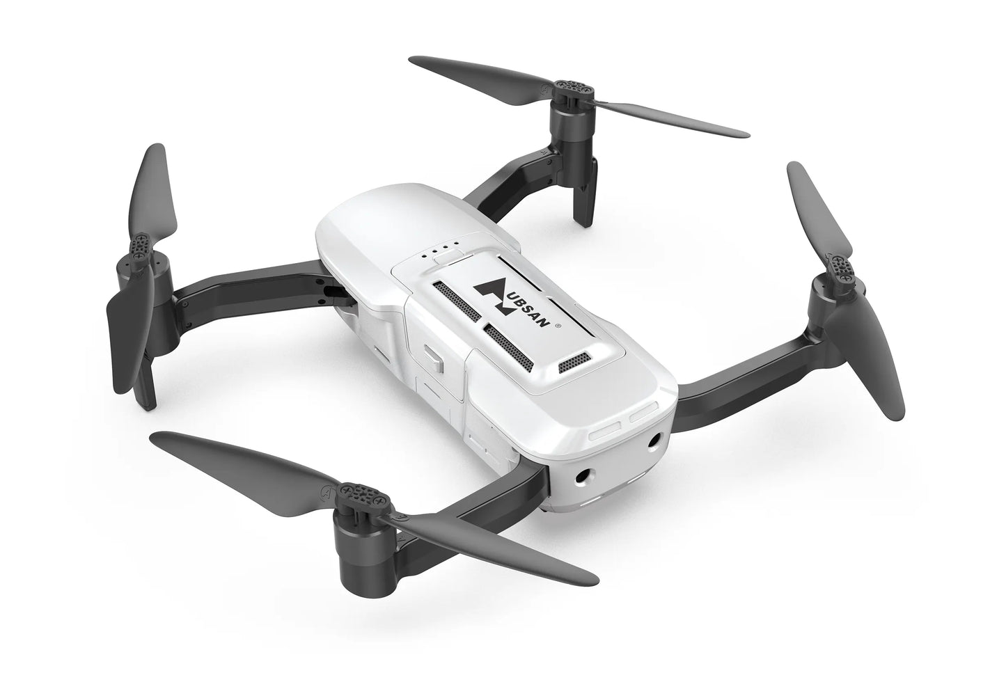
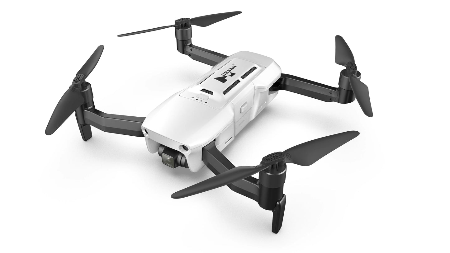
🛰️ ACE 2 GPS Drone Combo – Precision Mapping with 1-Inch 20MP Sensor & 16KM Range
📌 Recommended for Business & Surveying
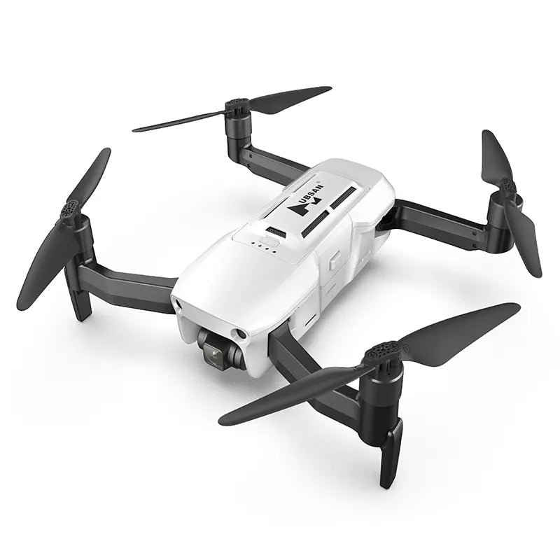
Engineered for professionals in aerial mapping, land surveying, and infrastructure inspection, the ACE 2 combines endurance and accuracy with a 1-inch 20MP camera, 3-axis gimbal, 53-minute flight time, and 16KM transmission range — optimized for reliable, high-precision results.
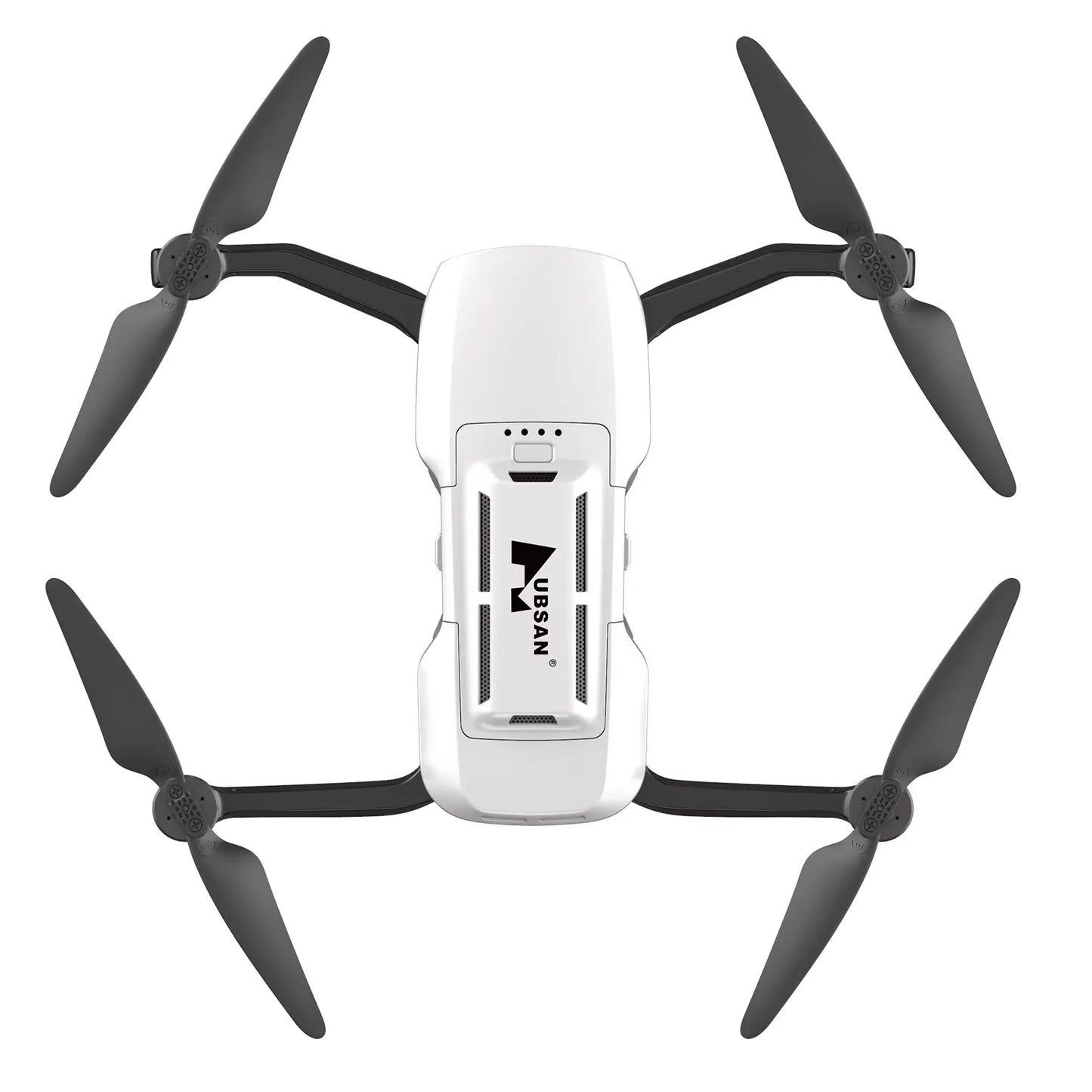
The ACE 2 GPS Drone Combo is purpose-built for demanding field operations. Its 1-inch CMOS sensor delivers professional-grade imaging, while the 53-minute endurance allows coverage of large areas in a single mission. With 16KM image transmission, a 3-axis mechanical gimbal, and a foldable transport-friendly frame, it's the all-in-one solution for aerial professionals.
🎥 Video Demo
🔧 Key Commercial Features
- 📷 1-Inch 20MP Sensor: Ideal for orthophoto capture, photogrammetry, and cinematic production.
- 📡 16KM Transmission: Maintain stable connection and FPV feed over extended distances.
- ⏱️ 53-Minute Flight Time: Fewer interruptions, more mission efficiency.
- 🌀 3-Axis Gimbal: Vibration-free image stabilization ensures data consistency.
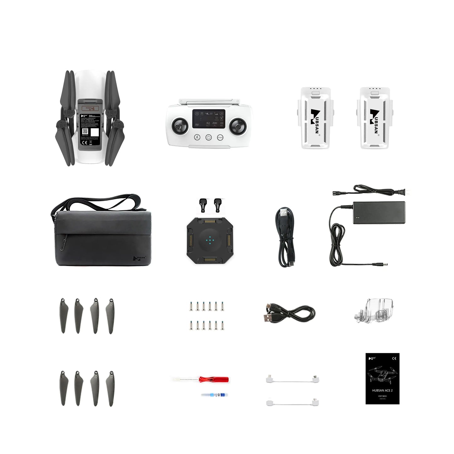
- 📱 Dual Control: Supports remote control and mobile app for flexible operation.
- 🧭 GPS-Assisted Return: Smart return on signal loss, low battery, or mission end.
- 🧳 Foldable Design: Compact structure for quick deployment and storage.
📐 Technical Specifications
- Camera: 20MP, 1-Inch CMOS sensor
- Gimbal: 3-axis mechanical
- Max Flight Time: 53 minutes
- Control Distance: 16KM
- Drone Type: Commercial-grade GPS quadcopter
- Skill Level: Professional / Enterprise
- Origin: Guangdong, China
📷 Application Scenarios
- 🔍 Surveying & Mapping: Collect accurate terrain and orthographic data.
- 🏗️ Infrastructure Inspection: Ideal for bridge, tower, and industrial asset surveys.
- 🏞️ Environmental Monitoring: Long-range observation and aerial documentation.
🖼️ Image Gallery – Full Set